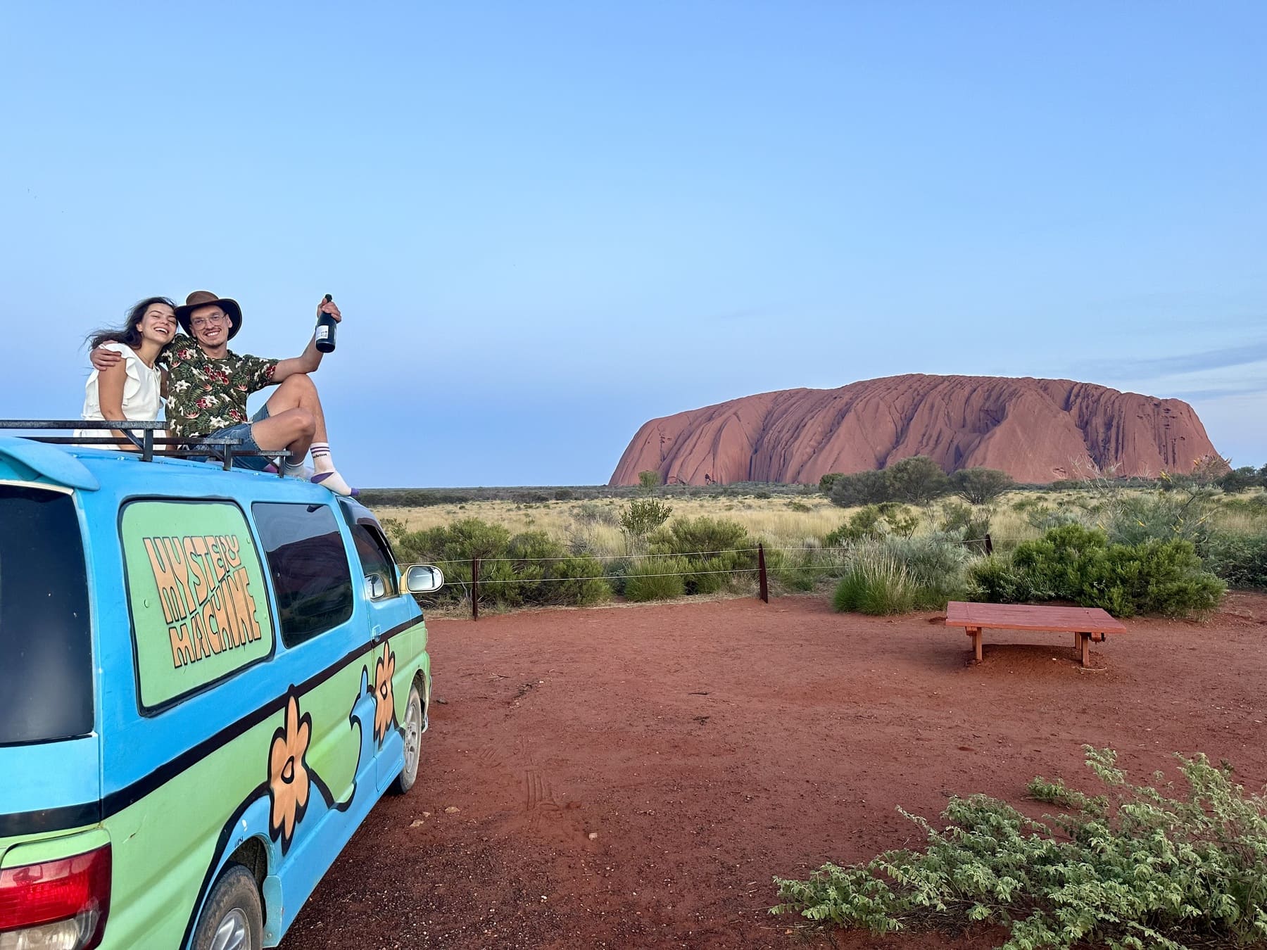
Two ways to use Alice Springs as a base
For a West MacDonnell / Tjoritja-focused trip, consider a sequence of stops west of Alice Springs rather than trying to combine every gorge with Uluru in a single drive. For a second direction, the drive to Yulara is a separate southern journey: Parks Australia: regional distances and map lists Alice Springs to Yulara at about 446 km by road. Check your own map and accommodation before building the day around that figure.
Uluru–Kata Tjuta National Park and Yulara are distinct places: check park entry requirements and arrange a lawful overnight stay, rather than assuming that a roadside rest stop is a campground. Do not schedule the Mereenie Loop as a shortcut until Wicked confirms the specific road and vehicle; also investigate any applicable permit and current conditions.
Further reading: NT road conditions
Build a day around real decisions
- Choose a westward stop such as Ellery Creek Big Hole or Glen Helen, then check the park status and where you will sleep.
- For a Yulara excursion, add the return distance or onward depot route and verify fuel and accommodation.
- Before departure, ask Wicked about every proposed unsealed road and compare the whole mapped trip with the quote’s kilometre allowance.
Further reading: 4x4 hire in Alice Springs
Give the trip a beginning and an end
Mark your pickup and return dates first. Then list the places that matter most to your group and decide which are realistic within that window. A route that looks short on a map may still need time for stops, rest and changing conditions.
If you want to return at a different depot, check the actual search result and terms for your dates before building the rest of the itinerary around it.
Plan more than driving legs. Consider where you expect to obtain fuel and supplies, where you may stay, and how much daylight and rest you want to leave around each day’s travel. Do not assume that a fuel stop, campsite or service will be open when you arrive; check directly before departure.
Leave room to change plans. Weather, road conditions and access arrangements may alter the journey, so identify a practical alternative before you leave town.
Turn a list of places into stages
Place your preferred stops on a map, then identify the roads connecting them and the points where you need fuel, water, food and an overnight stay. Check the services you plan to use directly; distance on a map does not account for rest, opening hours or delays.
Make a shorter alternative that still works with your return date. Contact Wicked about named roads before booking, and consult current official road and park information again before setting off.
Check the route road by road
A 4WD vehicle does not grant permission to use every track. Check the current rental agreement and ask Wicked Campers about the roads on your proposed route. Separately, consult the relevant road and park authorities for conditions, closures and any access requirements.
A road can be open while still being unsuitable for your vehicle, experience or agreement. If you cannot confirm a section, change the plan or seek advice before using it.
Think about water, food, fuel, navigation and communication in the context of your own route and current official advice. Mobile coverage may be unreliable outside populated areas; do not assume a phone will work throughout the trip. Tell a trusted person your plan and update them if it changes.
Pick a vehicle after outlining the trip
Once you know your group size, travel dates and likely route, compare seating and sleeping arrangements. Search with Wicked Campers Australia to see the options and conditions for your pickup and return; ask about any detail that could change your plan.
Frequently asked question
Can I follow any itinerary I find online?
Treat it as an idea, then check current road and park information and the permitted area in your own rental agreement.
Before booking, check your specific route and the current vehicle rental agreement. Search and booking continue with Wicked Campers Australia.